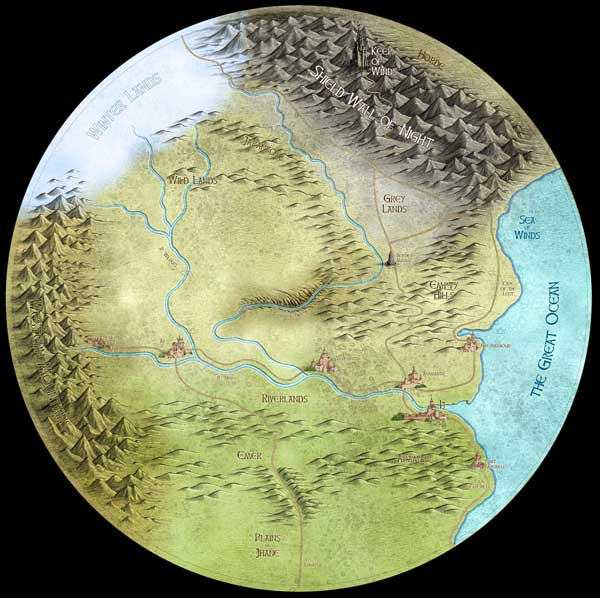
This is an illustrated map I did while at CPIT to go with a book written by a friend of mine, Helen Lowe, called The Wall of Night. It's not entirely geographically accurate to the book, but the necessary changes are minor.
Anyway, The basic outlines were done in pen and ink, and the textures were created with watercolour, but all of the colour and textures, and the text of course, were added to the pen outline digitally.

Click on the thumbnail above to see the map larger (opens in a new window)
I thought I'd lost the files for this map irretrievably, thanks to some very sub-standard backup DVD media (Princo - don't go near them, they're crap). Fortunately, I found a previous backup disk that I didn't remember making, and a lot of the files I thought I'd lost were on it. So, hoorah!
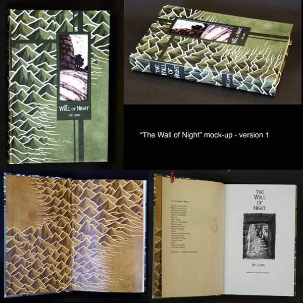
I also did a mock-up for a proposed hardback cover design, shown below, as part of the same illustration assignment: